Whether you’re on a military mission, flying an airplane, or driving to your friend’s house, odds are you’ve used GPS. GPS has many uses, but not for underwater vehicles. For subsea navigation, an electronic compass is a key component for engineers.
Limitations of GPS
Beneath an open sky, low-end GPS systems such as smartphones are accurate to within 5 meters. Commercial and military systems using dual frequencies can be accurate within a few centimeters.
In order to function effectively, GPS signals depend on a clear path between the receiver on the ground and the satellite in space. However, these signals cannot travel through solid objects or liquids. This means GPS will have difficulty navigating through buildings and thick forests, but underwater, it doesn’t stand a chance.
The Importance of Unmanned Subsea Vehicles
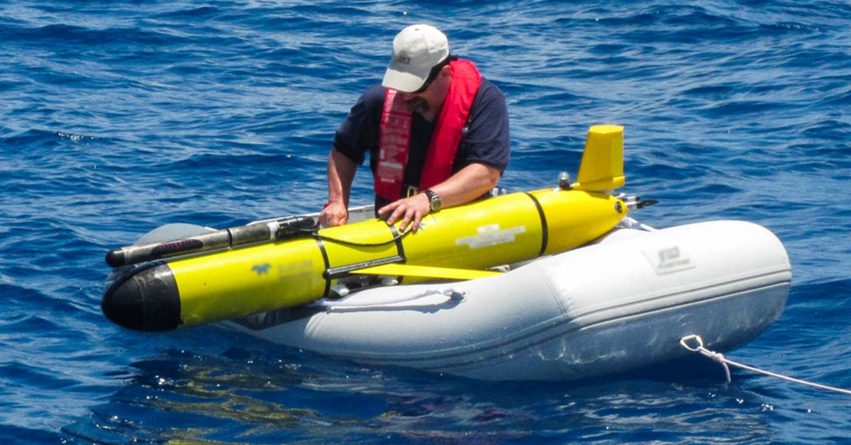
An AUV (autonomous underwater vehicle) is invaluable to provide deep-sea research, conduct search, and rescue, and inspect underwater systems such as oil rigs. In fact, an AUV was used to survey the damage and provide valuable information on the Deepwater Horizon oil spill in 2010.
Since GPS cannot function underwater, it is useless to the navigation system of an unmanned subsea vehicle, such as an AUV. Instead, a number of instruments are necessary to provide navigation, including an electronic compass.
Electronic Compasses Serve as a Backup to GPS
An electronic compass such as the ECV series includes multiple sensors, including a magnetometer to detect certain magnetic fields, a tilt sensor and gyros for pitch and roll, and an accelerometer for linear acceleration measurement. The measurements provided by this compass are used to compute the heading and speed of the vehicle.
This is often paired with an acoustic sensor which determines the vehicle’s velocity and positioning relative to the ocean floor. This sensor uses the Doppler Effect, by measuring the change in noise frequency reflected from a solid object.
Finally, an algorithm such as a Kalman filter uses the data collected from these instruments to calculate the vehicle’s position.
Learn more on electronic compasses.
